 LOCAL FIT KUMANOBack to list
Planning the Kumano Kodo Ohechi: 'Where to Stop' Matters More Than 'How Far to Go'
The Ohechi route of the Kumano Kodo runs from Tanabe along the coastline toward Kushimoto, and on to Nachi. Compared with the Nakahechi, which cuts through the mountains, the Ohechi is characterized by weaving between the sea and small villages.
Walking it end to end is a long undertaking. That's why it's easier to plan an Ohechi route by thinking not about 'how far I can walk' but about 'where I can call it a day.' Here are two key axes to settle before you open your map.
Axis 1: Resupply — Pin Down Water and Food as 'Points' on the Map
Along the coastal route, remote stretches lie between villages. Rather than searching for supplies once you've set off, check these three things before you leave.
Is There a 'Town for Resupply' at Each End of the Section?
Use a map to check whether you can get drinks and meals at the station or town where you start, and at the town where you'll finish. Assume there will be no shops along the way, and carry a little extra water and trail snacks as a baseline.
Confirm Opening Hours Just Before You Go
Small shops and eateries may change their closing days or hours. For same-day information, check official sources such as the local tourism association right before you set out.
Think About Water in Terms of 'How Much to Have Left,' Not 'How Much to Drink'
Coastal paths have little shade, and you'll go through water faster than expected. Aim to arrive at your goal with a little still left in your bottle.
Axis 2: Retreat — Decide Your Exit Points in Advance
Along the Ohechi, train stations and bus stops are scattered near the trail. In other words, it's a route where you can relatively easily secure several 'this is my endpoint' options even mid-section.
- Before leaving, mark the stations and bus stops within your planned range on a map
- Working backward from sunset and the weather, decide 'if I'm not here by this time, I'll bail out'
- Always check the return train and bus schedules in advance
Some lines don't run frequently, so simply knowing the time of the last service gives you a very different sense of ease.
Three Guidelines for Choosing a Section
1. For First-Timers: 'Half a Day, Station to Station'
We recommend starting with a section you can walk in a few hours, linking one station to another. You'll get a feel for both the sea and the mountain passes, and your exit is clear if you tire.
2. For Scenic Variety: 'Sections That Mix Passes and Coast'
Cross a pass and the sea appears; descend again into a village. This rhythm is what makes the Ohechi distinctive. Including places where the terrain shifts — such as the old mountain path of Tomida-zaka, or the coastal scenery around Kushimoto represented by Hashigui-iwa — makes for an enjoyable variety.
3. For Sections with Ferries or Road Walking: 'Check in Advance'
For sections that involve crossing a river or walking along roads, check operating status and safety information in advance. Trail conditions can change, so consult the latest information from local governments or tourism associations.
A Few Words on Gear and Walking Style
- Hat, sunscreen, and a light long-sleeved layer: prepare for sun and glare along the coast
- Wear shoes you're used to walking in. Since the route mixes pavement and mountain paths, choose with your feet's comfort in mind
- In case of heat exhaustion or rain, have the courage to shorten your plan rather than push on
In Summary: Breaking It Up Makes the Ohechi Much More Approachable
Rather than a trail to be conquered in one go, the Ohechi is better thought of as a long route to be connected gradually, section by section, over time. If you decide on your resupply towns and your bail-out stations first, even a first-timer can design a course that matches their stamina.
For your next day off, try just half a day, station to station. With the sea breeze on your face, why not walk the first section of the Ohechi?
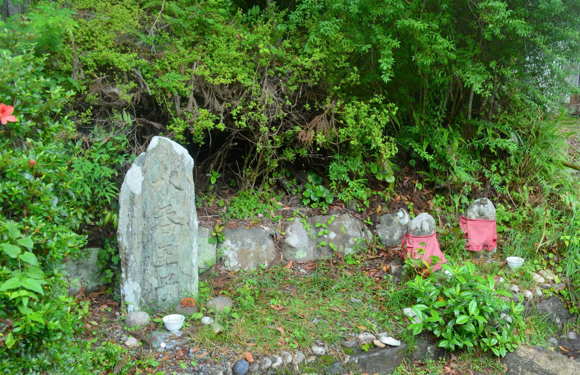
Image: 熊野古道中辺路 水吞王子 (via (公社)和歌山県観光連盟)