 LOCAL FIT KUMANOBack to list
Kumano is Far from Tokyo — but There Are Three Ways to Get There
Seen from the Kanto region, Kumano sits at the southern tip of the Kii Peninsula. The impression that it's "far away" isn't wrong. But when thinking about access to the Kumano Kodo, what matters more than distance on a map is "which gateway you enter from to reach the trailhead you want to walk." From Tokyo, there are three realistic routes to consider.
Route 1: Fly to Nanki-Shirahama Airport | For Those Who Want to Cut Travel Time
The air route from Haneda to Nanki-Shirahama Airport is the go-to choice for travelers from Kanto who want to shorten their travel time. From the airport, you can continue toward the Nakahechi route by rental car, bus, or train connections.
- Best for: Those with limited time off, or who want to save their energy for walking
- Things to note: Flight frequency and operations vary by season, so check the latest information before finalizing your itinerary
- Compatible trail: The Nakahechi route entered from the Tanabe side
We'll leave the finer details of getting around from the airport to another article. For now, it's enough to remember that "flying in puts you close to the Nakahechi."
Route 2: Shinkansen to Shin-Osaka, Then Limited Express to Kii-Tanabe | The Straightforward Classic
This route takes the Tokaido Shinkansen to Shin-Osaka, then heads south on the Kisei Main Line limited express toward Kii-Tanabe. With frequent shinkansen service, you have plenty of flexibility in choosing your departure time.
- Best for: Those who want to travel reliably by public transport, or first-time visitors to Kumano
- Things to note: Buses after you get off the limited express tend to be infrequent. Plan backward from your arrival time
- Compatible trail: The Nakahechi. Kii-Tanabe Station serves as the de facto gateway
Route 3: Shinkansen to Nagoya, Then Limited Express Along the Eastern Side of the Kii Peninsula | For Those Who Want to Add a Coastal Journey
This route takes a limited express from Nagoya on the Kisei Main Line, hugging the Kumano-nada coastline toward Kii-Katsuura and Shingu. The stretch of ocean views from the train window is itself a prelude to the journey.
- Best for: Those who want to start their trip from Nachi or Shingu, or who want to enjoy the scenery along the way
- Things to note: The ride is quite long. Pick up an ekiben (station bento) and drinks, and embrace the idea that "the journey is part of the trip"
- Compatible trails: The Daimon-zaka and other Nachi-area paths, and the Iseji route
When in Doubt, Choose Based on the First Trail You Want to Walk
Choosing among the three routes is actually simple:
1. Want to walk the Nakahechi → Route 1 or 2 (entering from the Tanabe side)
2. Want to center your trip on Nachi or Shingu → Route 3 (entering from the east)
3. Short on time above all → Route 1 to minimize travel
Using different routes for the outbound and return legs — "in from the west, out from the east" — is a traverse-style approach that's uniquely possible in Kumano.
It's Perfectly Fine to Make Your Arrival Day a "No-Walking Day"
After the long trip from Kanto, rather than forcing yourself to walk on the day you arrive, checking into your lodging, soaking in the hot spring to loosen up, and heading to the trails the next morning tends to result in a more satisfying experience overall. Access isn't about "getting there" — it's about "getting there in a condition to walk." With that in mind, try building a little breathing room into your itinerary.
*Timetables and flight frequencies are subject to change. Please check each operator's official information before you depart.*
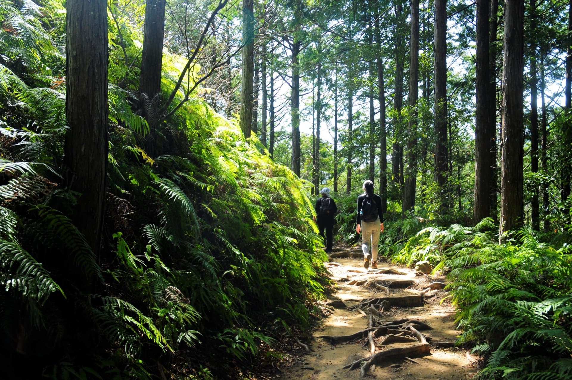
Image: 熊野古道中辺路 (via (公社)和歌山県観光連盟)