 LOCAL FIT KUMANOBack to list
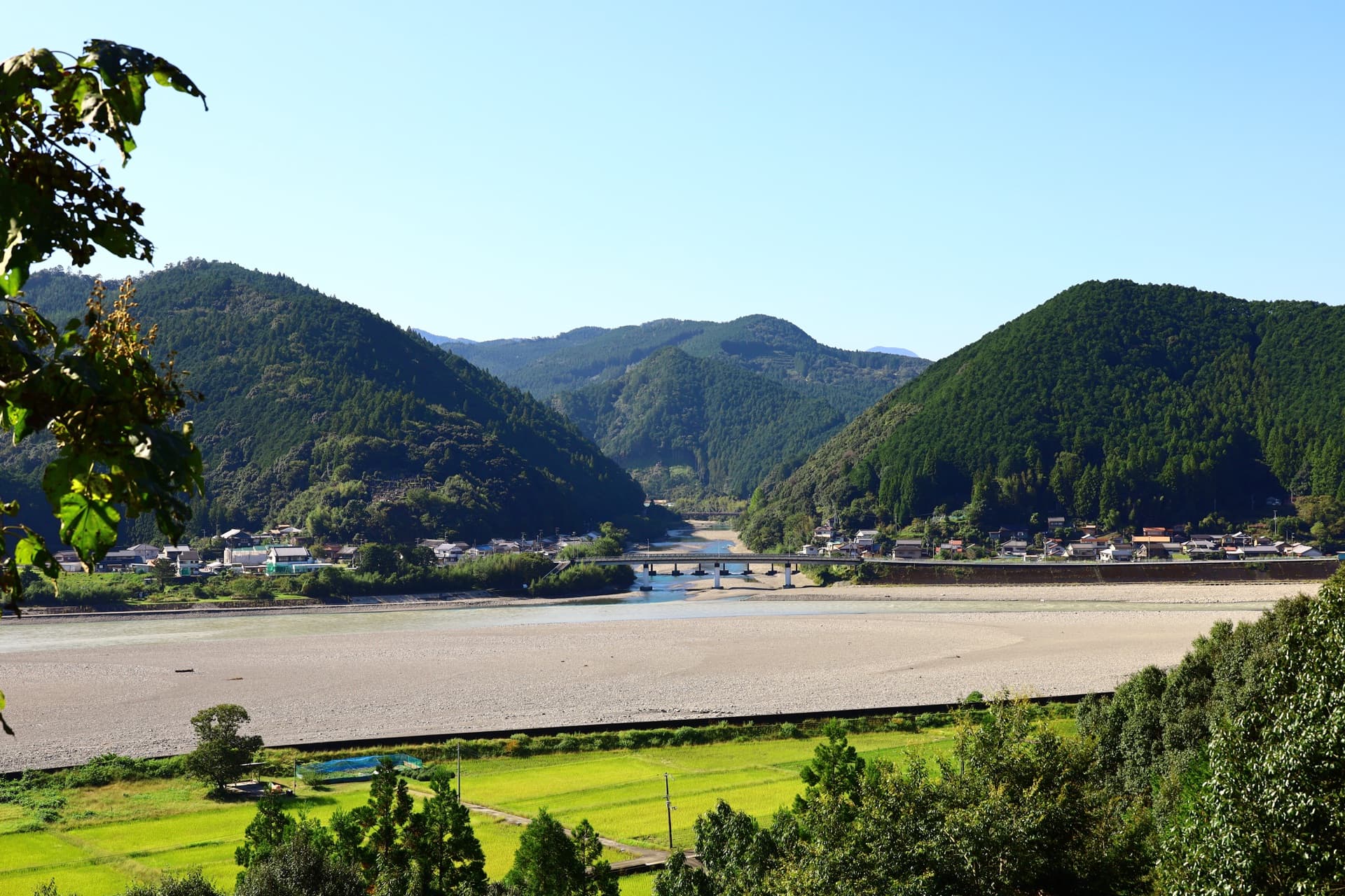
When people hear 'Kumano Kodo,' many picture moss-covered stone pavements or mountain paths lined with cedar trees. In Kumano, however, the rivers themselves are treasured as World Heritage pilgrimage routes. In this article, under the theme of 'river pilgrimage routes and World Heritage,' we'll sort out which rivers are called 'roads,' and why.
What Is a River Pilgrimage Route? The 'Water Roads' Included in the World Heritage
'Sacred Sites and Pilgrimage Routes in the Kii Mountain Range,' which encompasses the mountains and valleys of Kumano, was inscribed as a World Heritage site in 2004. Its components include not only the stone-paved old roads but also river pilgrimage routes, such as the Kumano River.
In the old days of Kumano pilgrimage, people didn't only walk — they also traveled downstream by boat. The rivers were places to admire scenery, but they were also 'roads' that brought pilgrims closer to the sacred sites. It is said that there are few examples worldwide of rivers being registered as pilgrimage routes.
Three Rivers, Each with Its Own Role
The river pilgrimage routes are generally discussed in terms of three rivers.
The Kumano River | The Great Road from Hongu to Shingu
The Kumano River, which flows beside Oyunohara — the former site of Kumano Hongu Taisha — is the main artery connecting the sacred sites. As a route linking Hongu upstream with Kumano Hayatama Taisha in Shingu near the river mouth, it has long been familiar to pilgrims. Standing before its wide flow, you can clearly sense Kumano's topography sweeping from the mountains down to the sea.
The Otonashi River | A River of Purification from Yunomine to Hongu
The Otonashi River, flowing down from Yunomine Onsen, has long been spoken of as a place where pilgrims purified themselves before worship. In Yunomine, there was a custom of restoring body and mind in the hot springs before heading on to Hongu, so the river and the hot waters are linked together as a continuous 'path of purification.'
The Iwata River | A River for Water Ablution at Kumano's Gateway
The Iwata River, which flows through the Tanabe and Kamitonda areas at the entrance to the Nakahechi route, is known as a place for *mizugori* (water ablution), performed before entering Kumano's sacred realm. It is a boundary-like river where travelers reset their minds just before reaching the holy ground.
Why Rivers Became 'Pilgrimage Routes'
In Kumano, nature itself — mountains, waterfalls, rocks, and rivers — has long been revered as divine. River water washes away impurities and carries travelers onward to the next sacred site. For that very reason, rivers were treated not merely as scenery but as roads bound up with faith.
Tips for Experiencing the River Pilgrimage Routes on Site
- Gaze at the Kumano River from Oyunohara: After visiting Hongu, simply standing by the riverbank lets you feel the breadth of the 'river road.'
- Walk along the Otonashi River from Yunomine: You can take in the steam of the hot spring village and the flow of the river at the same time.
- Follow the scenery from a boat or riverside road: The water's surface, reflecting the mountainsides, changes expression with each season.
River activities and events may change depending on weather, water levels, and the season. Before visiting, please check the latest information at a local tourist information center.
Reading Kumano Through Both Mountain Paths and Rivers
Feel 'walking Kumano' on the stone-paved old roads, and 'flowing Kumano' at the riverside. Only then does it become clear that the Kumano pilgrimage was a journey supported by both mountains and water. On your next Kumano trip, try turning your eyes to the blue lines on the map as well. Your familiar old-road walk should become a little deeper.
Image: 熊野川 (via (公社)和歌山県観光連盟)